fbpx
Trails

Santa Helena to Stonebridge Loop Trail

  • TRAIL STATUS: Open (except to La Orilla Trail + Stonebridge Mesa connectors)
  • DIFFICULTY: Easy

  • DISTANCE (ROUND-TRIP): 2.2 miles

  • TIME: 1 hour (slow pace)

  • HOURS: Sunrise to sunset

  • RESTROOMS: No

  • BICYCLES: No
  • PETS/ANIMALS: Horses + leashed dogs welcome

  • ENTRANCE: Santa Helena Trail (Solana Beach, CA)  See map

  • CLOSEST PUBLIC TRANSIT: Lomas Santa Fe + Solana Hills Dr (Solana Beach, CA) See map

  • PARKING: Street parking. Please remember that you are parking in a neighborhood, so keep all driveways clear and be respectful of neighbors. Please utilize waste and recycling containers at the trailhead. 

  • TERRAIN: Uneven path with some steep inclines. Since the unofficial paths aren’t clearly defined, wandering off the official trail is easy.

Bring home breathtaking photos when you journey this trail.

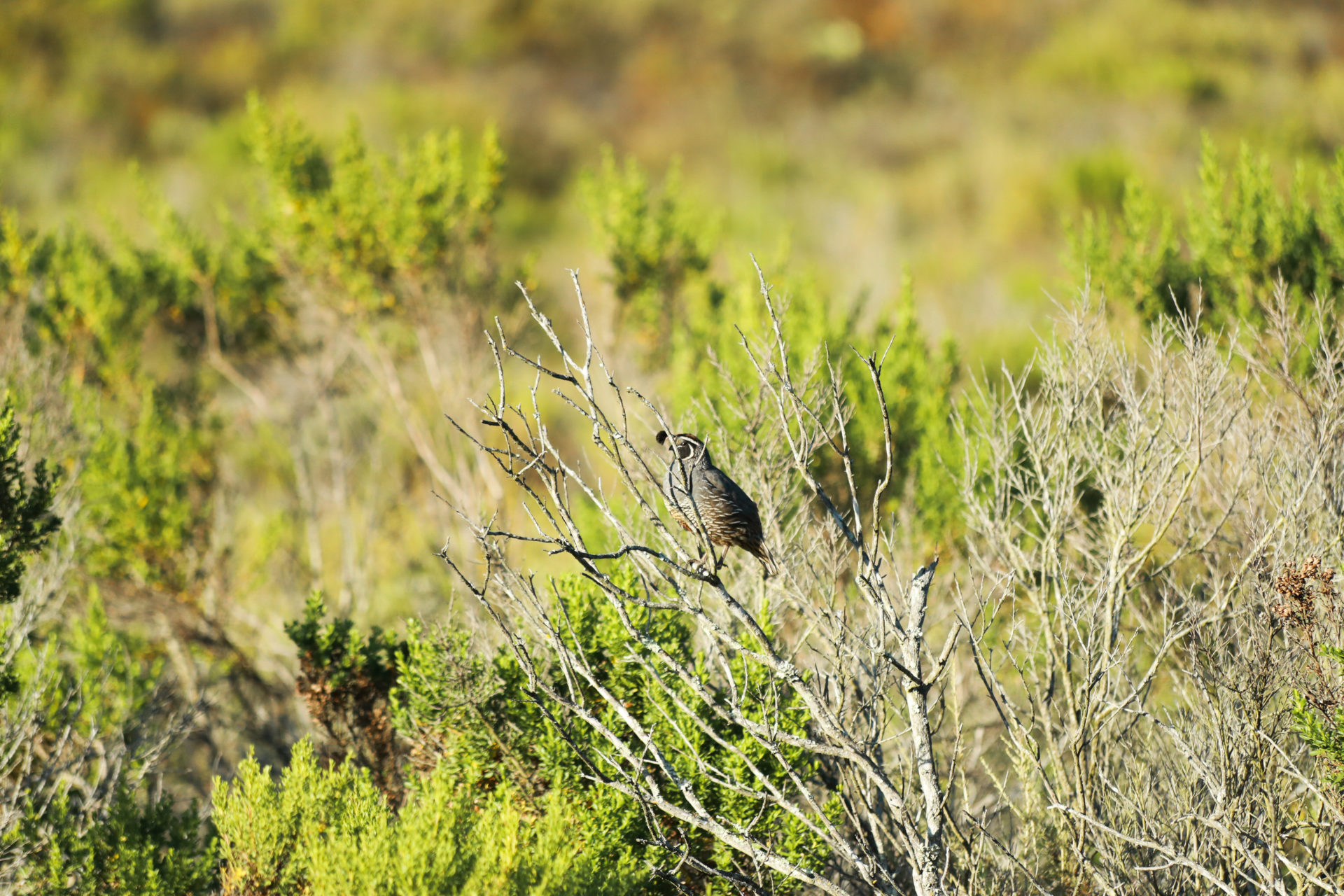
As a rustic, more wild route, you can find one of the most photogenic walking trails in San Diego. Go deeper into nature with a less defined path, connecting to how early settlers experienced the wild coastal territory.

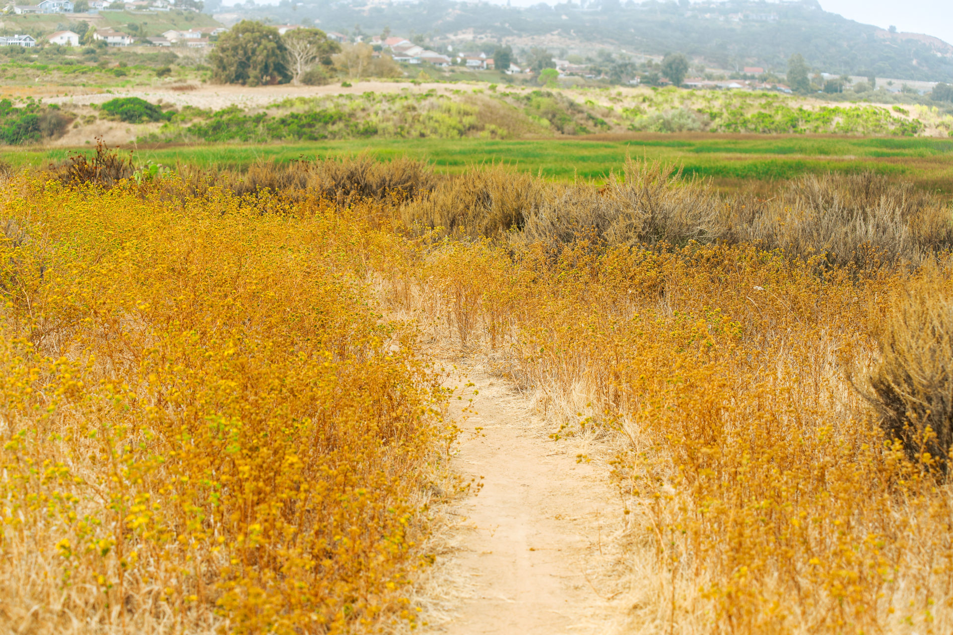
When you want to get away from it all – within reach of urban and beach town life – the Santa Helena Trail is a go-to adventure and workout.

Keep an eye out for:

California Quail hiding in the sage brushCalifornia Quail hiding in the sage brush
No. 1

California Quail running across the trail.

You can often hear them cooing to one another.

No. 2

Vibrant Tarweed…

blooming in the summer.

Field of Golden flowers (Lasthenia Glabrata)
No. 3

Coultier's Goldfield flowers blooming in the spring.

During heavy winter rains, note the flooded salt pan extending east.

What to Expect

  1. During heavy rains, please look out for trail closure, due to flooding.
  2. Soon after starting the trail, there’s a kiosk with further info about your trail, as well as a trash and recycling can.
  3. Follow the straight path, which runs parallel to the overhead power lines. Look out for desert cottontail rabbits that frequent this area.
  4. As you follow the trail, you come across a clearing. This is the beginning of the Stonebridge Trail.
  5. Continue until you reach a fork in the path.
  1. Go left at the fork. Then view the landscape and local birds – even take a load off on a bench.
  2. Be cautious when you reach a patch of uneven terrain (due to soil erosion). Lux Canyon is visible in the distance, as well as the entire East Basin.
  3. Though there’s no landmark at the end of the trail, notice that the path stops at a grassy field. You’re welcome to take a deep breath and enjoy your peaceful surroundings.
  4. Follow the Stonebridge Trail back until you reach a fork in the road.
  5. Keep left at the fork. This path connects you to the original trail. Continue until you reach the trailhead.

On your hike, you might see . . .

Lemonade Berry

The Kumeyaay brewed the seeds into a tea. Modern hikers drop a seed or two into their water bottles for a slight tang. More info

California Gnatcatcher

which is on the California Endangered List. Listen for its call as you hike. More info

More to Explore

Harbaugh Seaside Trails

Harbaugh Seaside Trails

Check out our newest open space with expansive marine views – ideal for dog walking, sunset watching, and peaceful contemplation in nature.

Learn More
Nature Center

Nature Center

Visit the friendly hub of the lagoon.

Learn More
N. Rios (East) Trail

N. Rios Trail (East)

At the intersection of ecology, San Diego, and birdwatching you have the easy-going Rios Trail.

Learn More